Posts

Showing posts from November, 2020

Hike #12: Rock Creek Ramblers
Image
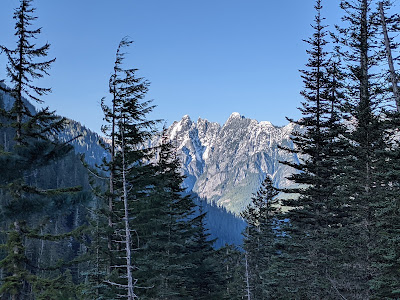
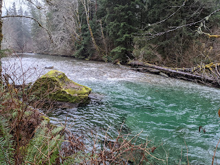
Time for another low-elevation hike in the Middle Fork. I ask Jeannie and Kyra if they want to come along on another Sunday adventure, and they agree to join me in a trip from the Dingford Creek trailhead. Our tentative plan is to hike the Middle Fork Trail upriver from Dingford Creek, then cross over near Goldmyer Hot Springs and return on the old road I biked for Hike #11 . It's an ambitious 10 miles or so, but there is very little elevation gain, so I'm hoping we can cover it quickly. We arrive at the trailhead at 10:30 AM, and I'm surprised to see three other cars there. It is a beautiful bluebird day, with temperatures in the mid 30s, though this hike is almost entirely in the woods on north-facing slopes, so we won't be getting a lot of direct sun. We pass over the sturdy bridge to the other side of the Middle Fork and head upriver, passing huge old growth trees and giant rock outcroppings. The going is pretty easy on this trail, and it's a moss-covered rain
Hike #11: Middle Fork Multisport

Image
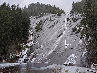
The week of Thanksgiving is looking to be a wet one. However, it's been a bit warmer in the past week, with a snow level around 5000', so I decide this is a good time to return to the Middle Fork and check out the road past the Dingford Creek trailhead. This road was permanently gated in 2006 after a lot of controversy, putting the destinations of Big Snow Mountain and Dutch Miller Gap out of the range of day hiking mortals. It's 8 miles from the Dingford Creek Trailhead to the former road end at Hardscrabble Horse Camp . Nonetheless, I resolve to make this my destination for the day, and I want to try something a bit different by taking my bike along. Since I'll be on old road the entire way, I can hopefully save a lot of time by biking the first five miles on the way there and back, turning a 16 mile hike into a 10 mile bike with a six mile hike. I consider this an experiment to see if the bike + hike idea would work for a family bac

Hike #10: Soggy Stroll to Otter Falls

Image
Today's goal is Otter Falls and Lipsy Lake , an easy 8 mile trek up the Taylor River trail, officially known as the Snoqualmie Lake Trail. Lipsy Lake is officially named on the USGS map, but it's just outside the Alpine Lakes Wilderness, so I won't be checking anything off my list. I chose this hike today since it's at a lower elevation - the higher trails are pretty much a no-go with the two feet of snow that feel in the last week. The trail starts just before a massive concrete bridge over the Taylor River, beyond the Middle Fork Snoqualmie River trailhead and the new Garfield Ledges trailhead and picnic area. I get a late start this morning and don't arrive until 12:00; there are four other cars in the large parking lot. I have fond memories of the last time we hiked this trail in 2003, when we went all the way to Big Creek. I carried Allie in the backpack for most of that hike, so it was quite the workout! My da

Hike #9: Sunday at the Katwalk

Image
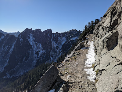
On a beautiful Sunday the day after Halloween, I hit the trail at about 7:30 AM, just steps from the summit of Snoqualmie Pass. My watch reads 8:30, since we had just set our clocks back the night before. As expected, there are quite a few hikers at the trailhead already - about 20 cars. This is one of the more popular hikes in the Snoqualmie area. Shockingly, in all my years of hiking I have never been to the famous Kendall Katwalk . The hike starts out on the Pacific Crest Trail (PCT), but about 100' in, I veer left on the abandoned Cascade Crest Trail. It's a little bit overgrown near the bottom, but generally in very good condition. The CCT cuts off one mile each way on this hike, and I see no one else on this secti